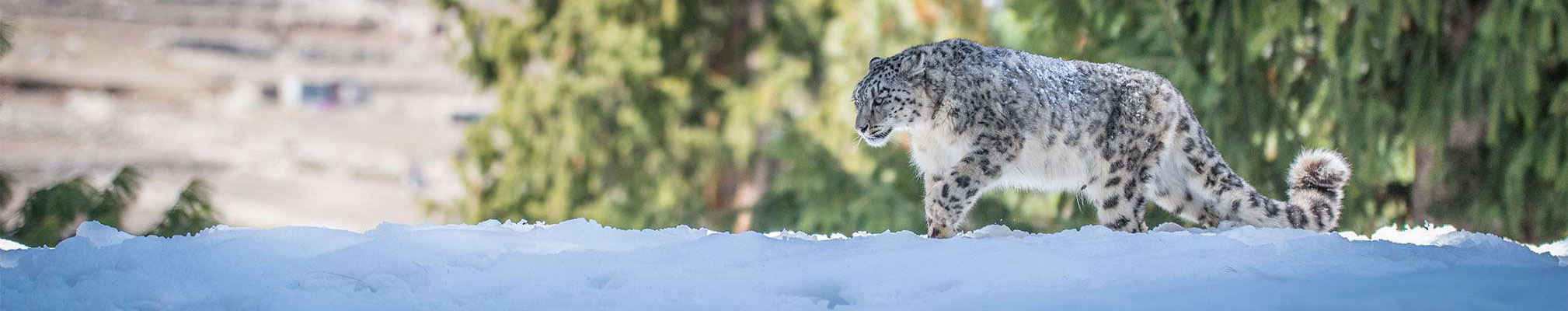
GIS & Remote Sensing technologies are a very effective tool used by SLF for managing, analyzing, and visualizing wildlife data in order to target areas where conservation practices are needed. Habitat geospatial analysis is an important key to understand the population and health of species in the wild. Monitoring change in wildlife habitats is feasible with ESRI's suite of ArcGIS software, a tool for managing, analyzing, and depicting statistical and geographic data. GIS helps to monitor and visualize the following:
- Population and distribution
- Habitat use and preferences
- Progress of conservation activities
- Historical and present regional biodiversity
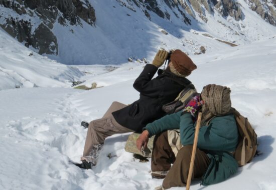
Understanding threatened species is important in preventing their extinction and revitalizing their populations. SLF use ESRI’s software for sharing pertinent wildlife data on the Web easy and accessible and spreads the conservation movement across the globe. Working in remote areas is a very challenging task where Remote sensing helps.
- Species distribution and abundances: data from satellites is helping outline species distribution due to looking at habitat health and ecosystem change. The climatic factors extracted from the satellite are being used in habitat modelling.
- Species movements and life stages: remote sensing is used to understand changes in species movements by looking at shifts in land use that could impact migrations.
- Ecosystem processes: data from satellites is helping to understand how ecosystems respond to various stressors, from nitrogen pollution to ocean acidification. High resolution and frequent data could also help scientists better comprehend how ecosystems respond to extreme weather.
- Climate change: By analyzing long-term data on climate change helping conservationists both views how global warming is impacting species and ecosystems, as well as identify conservation priorities in a warming world.
- Protected areas: Using remotely sensed data SLF design better-protected areas, looking more holistically at how to manage land inside and outside parks in order to better achieve conservation goals.
- Conservation effectiveness: With the increased use of remotely sensed data conservationists monitor the success of new initiatives and the efficacy of protected areas.
Degradation and disturbance regimes: many changes to ecosystems are not detectable by simply looking at shifts in land cover but combining remote sensing data with other technologies and other types of data such as field surveys is helping piece together less visible changes.